Key Stage One
In Key Stage 1, pupils study three geography topics over the course of the year with a focus on securing an in-depth understanding of the human and physical geography of their local area and key locations in The United Kingdom. They then progress to comparing the geography of their local area with localities across the globe.
Teachers follow a geography skills progression document, which ensures that the geographical skills are being built on each year and to ensure by the end of Key Stage One, the children are confident to extend their knowledge and understanding beyond the local area in Key Stage Two.
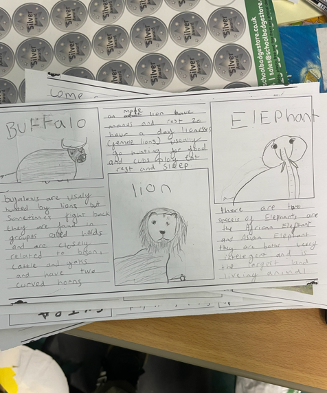
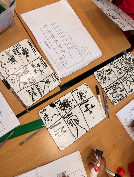
Each geography topic has a “key question,” which links the sequence of learning and ensures the knowledge taught has a clear focus. Children display their ability to answer their geography key question, as well as use Tier 3 geography vocabulary in context, in an assessment format at the end of the topic.
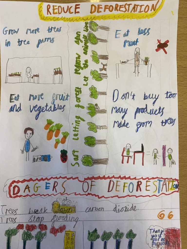
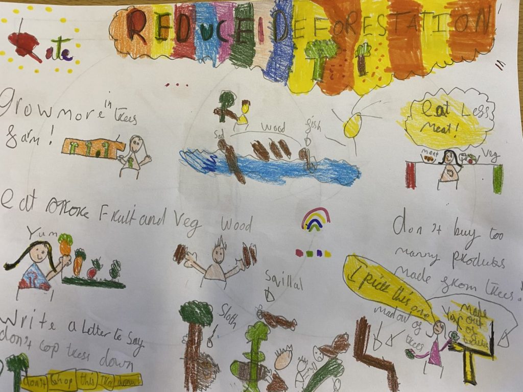
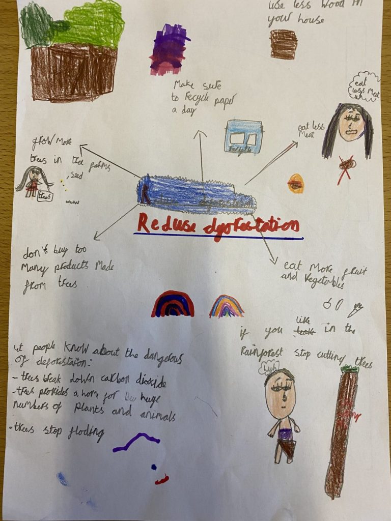
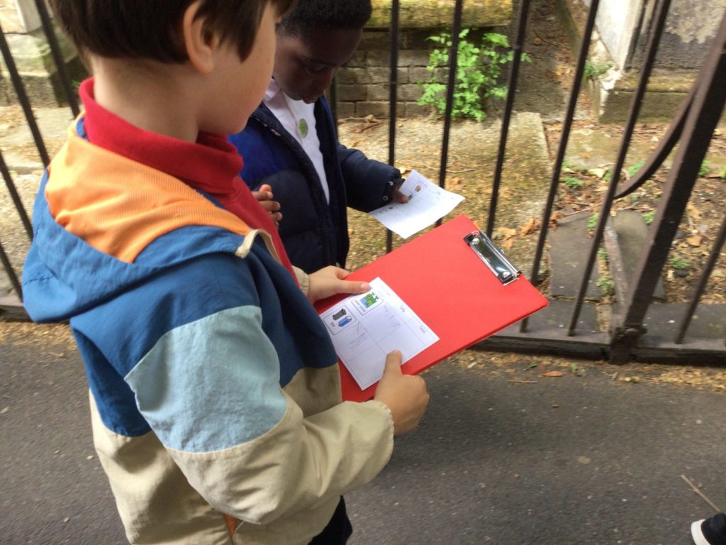
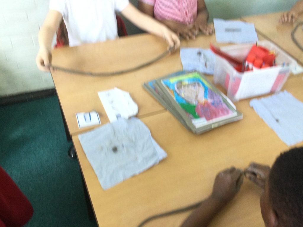
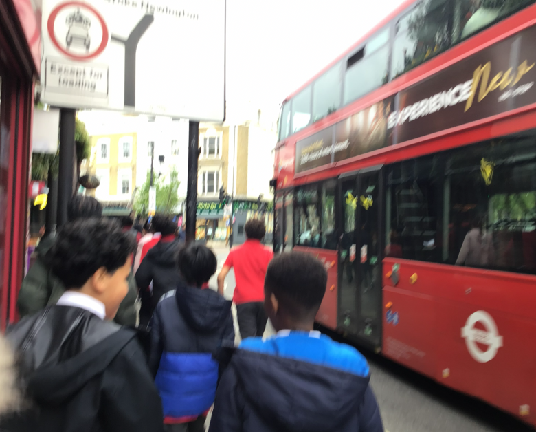
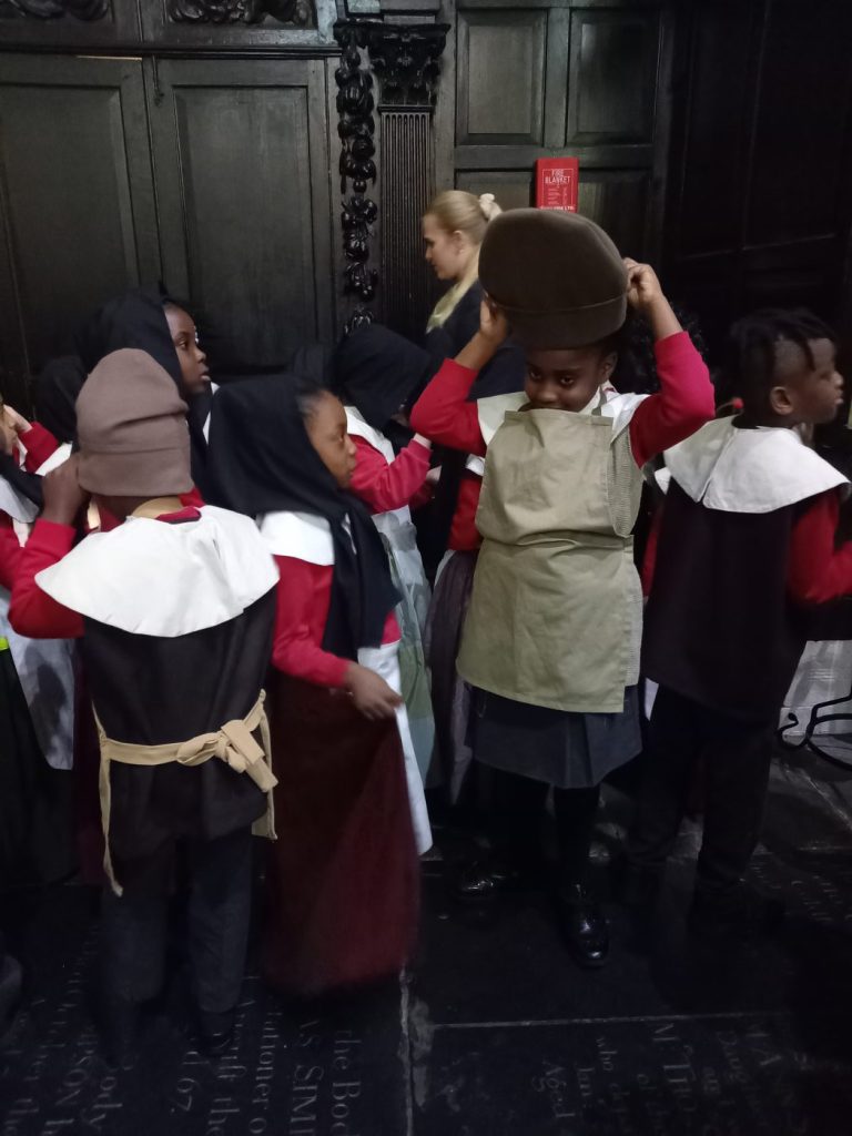
Fieldwork enhances the pupils’ understanding of key geographical concepts and strengthens their locational awareness. For example, children record and observe climate patterns in Hackney to support them to identify seasonal and daily weather patterns in the United Kingdom, before comparing and contrasting them with more extreme climate zones across the globe. Similarly, they are introduced to concepts of sustainability and carry out a school survey to reflect on the school’s carbon footprint, before learning about ways populations can secure a more sustainable future.
Children are provided with a knowledge organiser for each of their geography topics, which shares their prior learning, which will be built on in the current topic. This provides an opportunity for children to share what they already know about the topic. The knowledge organisers also outline subject-specific Tier 3 vocabulary that they will learn, as well as showing the key location they will be studying on a map.
To develop their geographical skills, children in Key Stage One start to use Digimap to enable them to describe the location of features and routes on local maps, as well as starting to understand the concept of scale used.
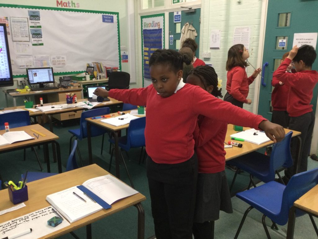
All teachers follow medium term plans for each topic, which are written by the humanities subject lead. The medium term plans include an oracy activity for every lesson, to ensure children’s subject knowledge is improved through high quality talk opportunities humanities lessons.
The teachers use knowledge recall documents to revisit key learning regularly. Each lesson starts with retrieval practice, as a means to consolidate knowledge and strengthen understanding over time.