05 May Geography Fieldwork
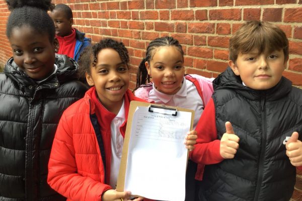
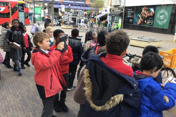
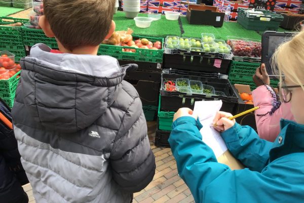
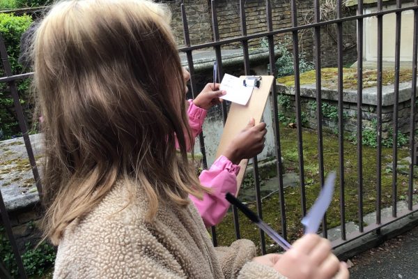
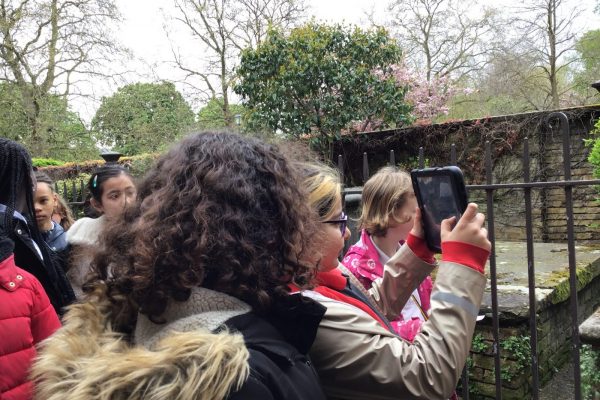
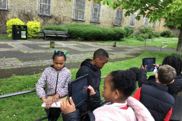
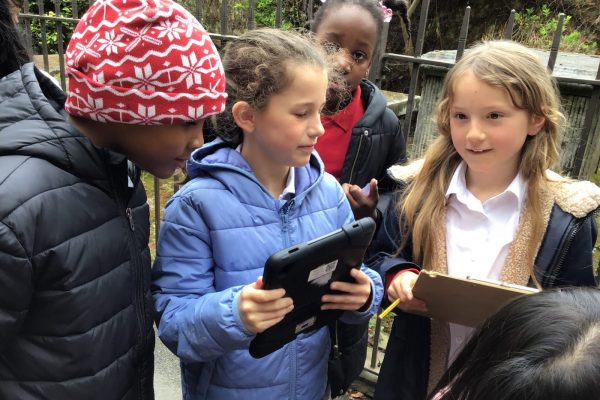
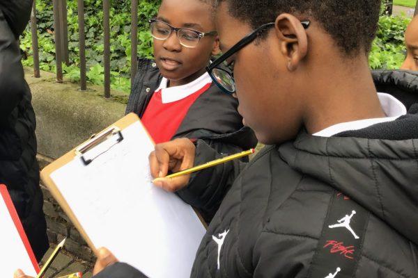
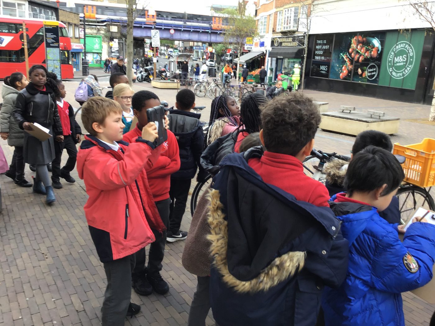
Last Friday, the children in Years 3 – 5 put their geography skills to the test and became geographers in our first ever Fieldwork Day! The children were able to draw upon their prior geographical knowledge to plan a walk in the local area which would allow them to make observations and collect data about the human and physical geography of Hackney.
Year 3 focused on the different land uses in Hackney and thought carefully about the symbols that are used to represent these on maps. They conducted a survey to find out about the patterns of land use in our local area and then used this to create a map, identifying key landmarks and describing their position with lines of longitude and latitude.
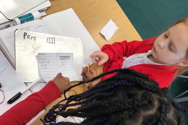
Year 4 explored the human and physical features of Hackney and thought about how they could use keys with symbols to represent different types of buildings, i.e. clothes shops, pharmacies and restaurants. They then used the observations from their walk to create a simple map of the local area, where they used four-figure grid references to plot key buildings that they came across on their walk.
Year 5’s fieldwork allowed them to gain an insight as to how sustainable Hackney is. On their walk, they collected information about the initiatives that are used within our local area to protect the environment, for example, recycling bins and plant pots. They also conducted a survey to find out about how people travel with Hackney Central and then analysed this data and made some suggestions about how the local area could further reduce its carbon footprint.
The children across Key Stage 2 thoroughly enjoyed becoming geographers for the day and are now ready to use their new knowledge of our local area to make comparisons within different places across the globe!